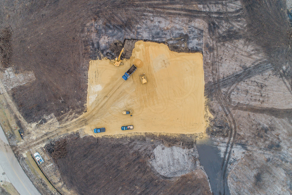
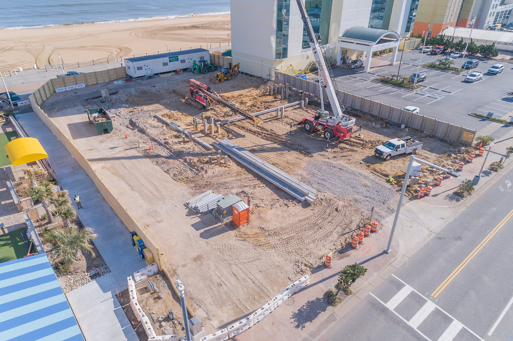
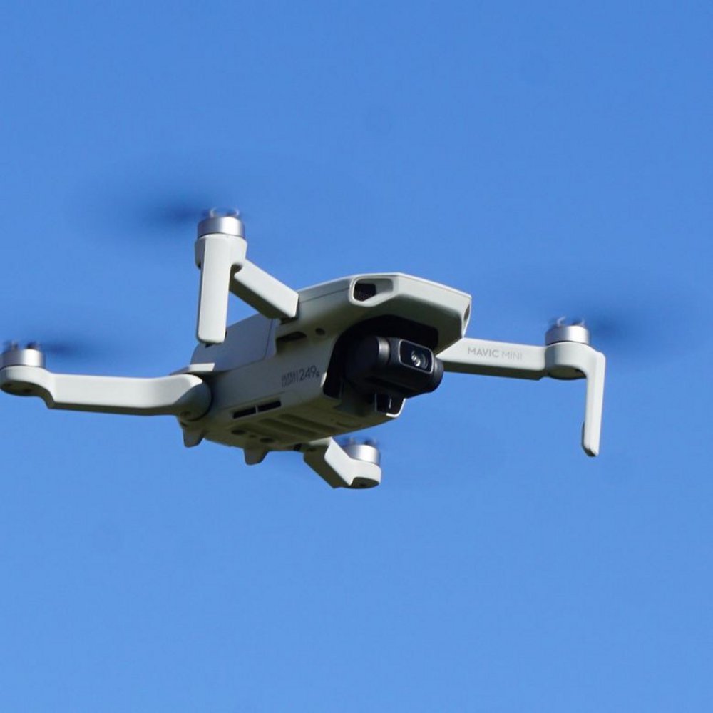
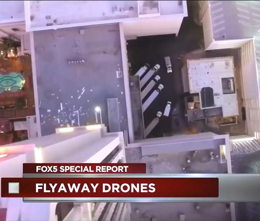
It's that time of year again, and, as in most recent years, drones are sure to be one of the hottest selling items in the stores and online.
However, before you rush out to get one for yourself or a friend or child, there are some things you need to know about owning drones.
1. Where does the owner live - Many larger drones available now have what is called geofencing in them. Basically they have GPS, and will not fly anywhere there is a no-fly zone in operation.
If the person you're buying a drone for lives within 30 miles of Washington DC for example, they are going to have a tough time trying to fly, even on their own property as the drone may not even power up.
2.
Read More >